E-atlas contents
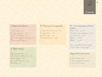
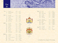
Each historical e-atlas is composed of 4 sections. The first 3 sections describe the history of cartography and mapmaking techniques in general. In the 4th or major section (Country maps and their Makers) the history of a specific country is visualized via a range of maps from important mapmakers in different era’s.
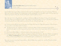
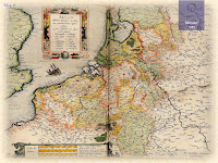
The document is made up of duo pages; the right page displays the map of a given period, the left page contains text describing its creator and other details.
Each atlas also includes an Appendix which contains a selection of common Latin terms that are used on ancient maps.
🗺


