E-atlas maps
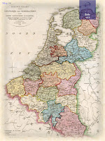
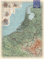
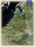
T-O-Maps is a service specialized in providing historical e-atlases of various countries across the globe. The key product is a document (e-atlas) containing a series of maps that visualize the changing shape of a country, starting with the earliest known maps up to 20th century maps. Each era is represented by a number of maps drawn by the most famous (European) cartographers of their time. From early classical & medieval maps, via maps of 16th/17th century atlases (Golden Age of Cartography), to contemporary satellite images. More than 50 atlases of various countries, distributed all over the world, are currently available. The available e-atlases are not meant to replace the traditional printed atlases but are an addition and offer extra functionality. They can be downloaded as PDF-files; the files can be viewed using Acrobat Reader (version 10 or higher) and compatible applications.
A-atlas vs. E-atlas
The historical e-atlases are suitable for reading and presentation purposes. The maps and their descriptions can be studied and printed at home or school. The main group of potential users are teachers and students in geography and history. Moreover, the atlases are useful to anyone who is interested in old maps of his/hers native or ancestors country.
Maps from different periods can be easily compared.
🌍


